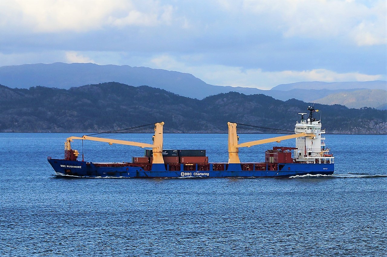
BBC RUSHMORE
Cargo · Antigua and Barbuda · Class A
IMO 9508469
MMSI 305864000
activeCurrent position
updated 6 days agoIdentity & particulars
- Name
- BBC RUSHMORE
- IMO number
- 9508469
- MMSI
- 305864000
- Call sign
- V2GB3
- Flag
- 🇦🇬 Antigua and Barbuda
- Vessel type
- Cargo
- Gross tonnage
- 8,255
- Deadweight (DWT)
- —
- Length overall
- 125 m
- Beam
- 22 m
- Year built
- 2012
- Builder
- —
- Registered owner
- —
- Operator
- —
Particulars are enriched from public sources as they become available. Position & identity are derived live from AIS.
Emissions & fuel consumption
Independently verified annual figures reported under the EU MRV regulation — public environmental data the incumbents don't surface.
| Year | CO₂ emitted | Fuel burned | Time at sea | CO₂ / n mile |
|---|---|---|---|---|
| 2018 | 882 t | 282 t | 14 days | 207 kg |
| 2019 | 4,603 t | 1,471 t | 87 days | 203 kg |
| 2020 | 2,431 t | 768 t | 37 days | 208 kg |
| 2022 | 4,019 t | 1,277 t | 93 days | 210 kg |
| 2023 | 2,831 t | 896 t | 45 days | 207 kg |
| 2024 | 5,302 t | 1,686 t | 89 days | 206 kg |
Technical efficiency: Not Applicable (19.48 gCO₂/t·nm). Source: European Commission / EMSA THETIS-MRV (EU Regulation 2015/757). Covers voyages to, from and within the EU/EEA.
Frequently asked questions
- Where is BBC RUSHMORE now?
- BBC RUSHMORE (IMO 9508469) was last detected in the North Atlantic Ocean at 35.1569° N, 7.8444° W, making 11.1 knots — 6 days ago. Seadar tracks BBC RUSHMORE live and free using AIS, with no paywall on position or identity.
- What kind of ship is BBC RUSHMORE?
- BBC RUSHMORE is a cargo sailing under the flag of Antigua and Barbuda, built in 2012. The vessel is 125 m long with a beam of 22 m and has a gross tonnage of 8,255.
- Has BBC RUSHMORE been detained or sanctioned?
- No detentions or sanctions for BBC RUSHMORE appear in the public sources Seadar tracks (USCG PSIX inspections and the OFAC SDN list).