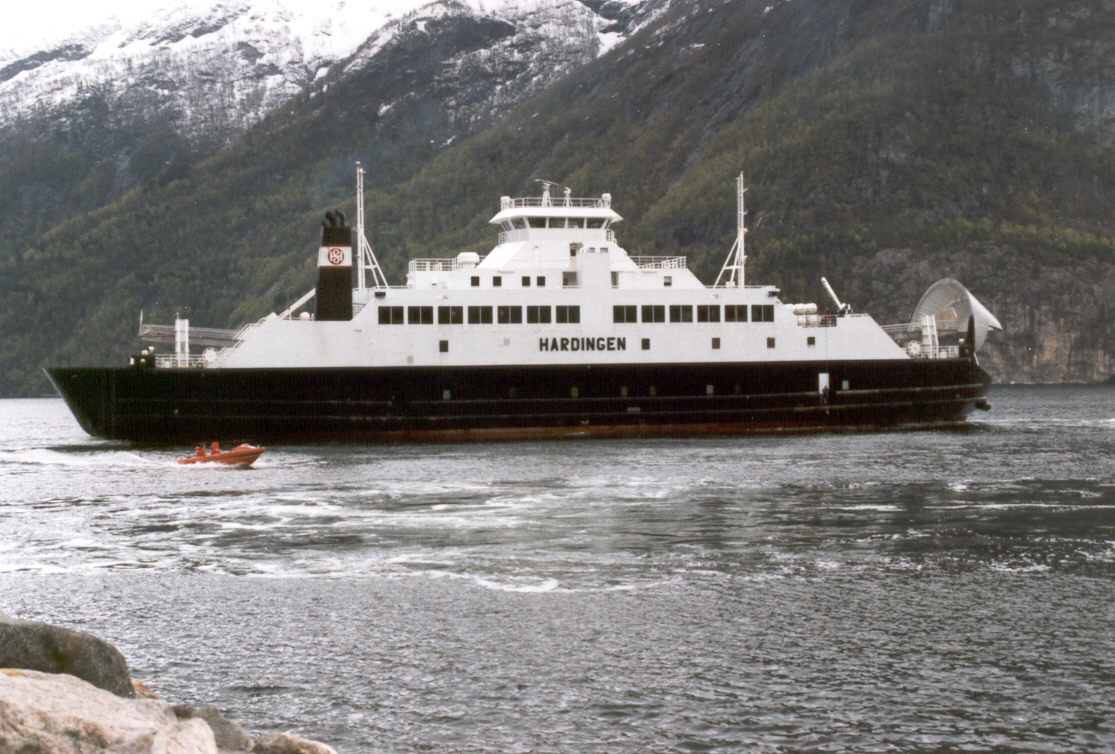
HARDINGE
Cargo · Saint Vincent and the Grenadines · Class A
IMO 9036040
MMSI 377046000
activeCurrent position
updated 26 days agoIdentity & particulars
- Name
- HARDINGE
- IMO number
- 9036040
- MMSI
- 377046000
- Call sign
- J8B6507
- Flag
- 🇻🇨 Saint Vincent and the Grenadines
- Vessel type
- Cargo
- Gross tonnage
- 2,631
- Deadweight (DWT)
- —
- Length overall
- 84 m
- Beam
- —
- Year built
- 1993
- Builder
- Sandnessjøen Slip & Mek Verksted
- Registered owner
- Hardanger Sunnhordlandske Dampskipsselskap
- Operator
- —
Particulars are enriched from public sources as they become available. Position & identity are derived live from AIS.
Frequently asked questions
- Where is HARDINGE now?
- HARDINGE (IMO 9036040) was last detected in the Mediterranean Sea at 37.9495° N, 23.6044° E, making 0.0 knots — 26 days ago. Seadar tracks HARDINGE live and free using AIS, with no paywall on position or identity.
- What kind of ship is HARDINGE?
- HARDINGE is a cargo sailing under the flag of Saint Vincent and the Grenadines, built in 1993 by Sandnessjøen Slip & Mek Verksted. The vessel is 84 m long and has a gross tonnage of 2,631.
- Who owns HARDINGE?
- HARDINGE is registered to Hardanger Sunnhordlandske Dampskipsselskap. Ownership data is compiled from public registries and shown free on Seadar.
- Has HARDINGE been detained or sanctioned?
- No detentions or sanctions for HARDINGE appear in the public sources Seadar tracks (USCG PSIX inspections and the OFAC SDN list).