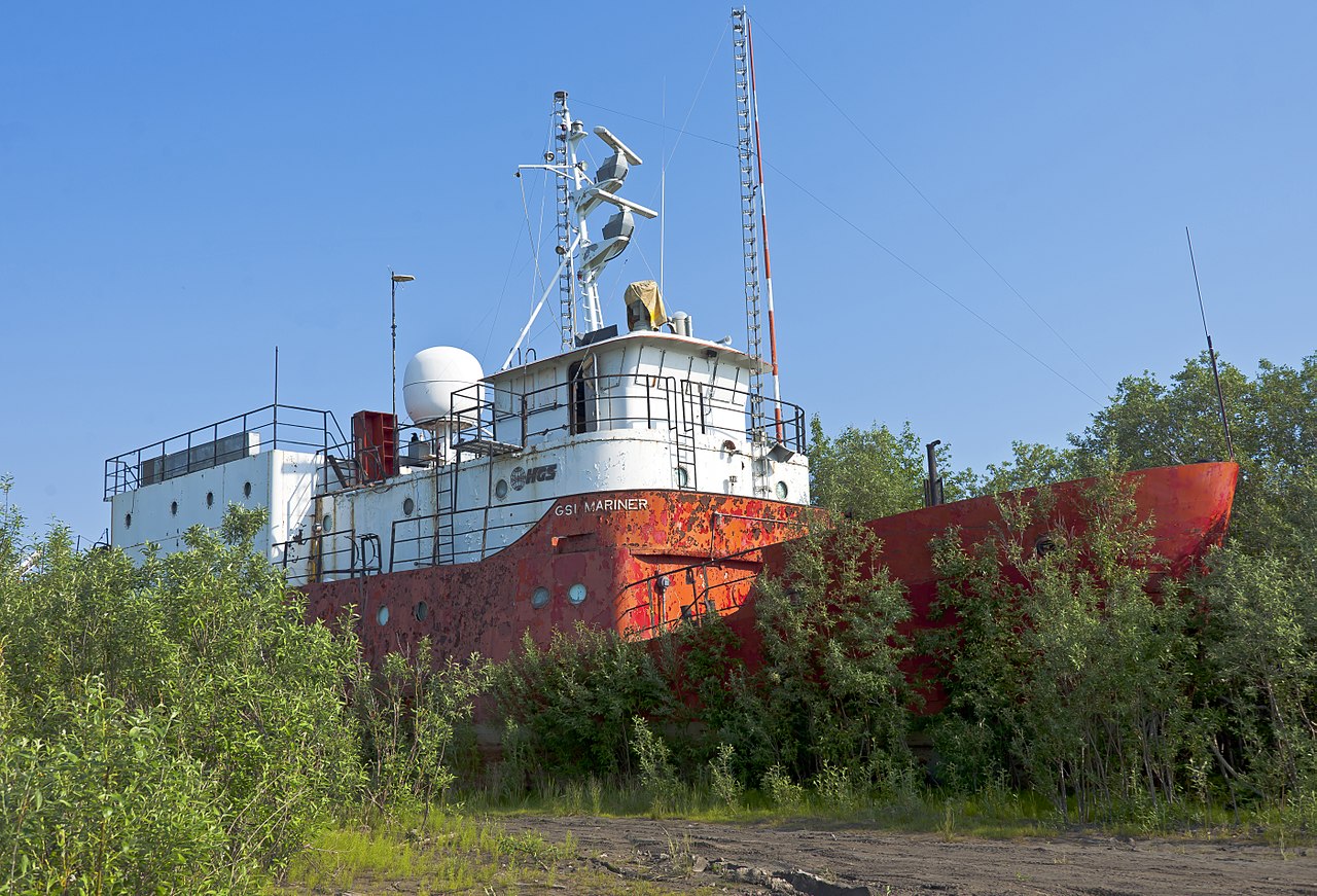
GSI Mariner
research vessel
Current position
No live position received yet. Identity and particulars below.
Identity & particulars
- Name
- GSI Mariner
- IMO number
- 7629219
- MMSI
- —
- Call sign
- —
- Flag
- —
- Vessel type
- research vessel
- Gross tonnage
- —
- Deadweight (DWT)
- —
- Length overall
- 36.5 m
- Beam
- —
- Year built
- 1972
- Builder
- —
- Registered owner
- —
- Operator
- —
Particulars are enriched from public sources as they become available. Position & identity are derived live from AIS.
About GSI Mariner
GSI Mariner is a Canadian research/survey ship. She was built and used originally by Geophysical Service Inc. (GSI) to record seismic data on the Mackenzie River delta and the Beaufort Sea in the Arctic Ocean. Later she was owned by other companies, including Halliburton Canada. She is currently beached on the banks of the Mackenzie south of Inuvik, near the beginning of the Tuktoyaktuk Winter Road. GSI Mariner was built in 1971 in Edmonton, and taken up in sections to Great Slave Lake later that year to be launched onto the Mackenzie. GSI ran surveys and did seismic research with her during the summers and beached her over winters, voyages that continued as Halliburton took over GSI and then after the company was reincorporated. Whether she will sail again is not known.
Summary from Wikipedia, licensed CC BY-SA.
Frequently asked questions
- Where is GSI Mariner now?
- GSI Mariner has not transmitted a live position recently. Its identity and particulars are kept on this page, and its position will appear here the moment it is detected on AIS again.
- What kind of ship is GSI Mariner?
- GSI Mariner is a research vessel, built in 1972. The vessel is 36.5 m long.
- Has GSI Mariner been detained or sanctioned?
- No detentions or sanctions for GSI Mariner appear in the public sources Seadar tracks (USCG PSIX inspections and the OFAC SDN list).